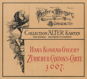
1. The Gyger map of 1667
On behalf of the government of the Canton of Zurich, Hans Konrad Gyger produced a map of the Canton with the surrounding neighbour regions. The map is oriented to the east and was after 30 years of work finalised in 1667.
In memory to the great cartographer and for the occation of the International Congress of Geography in Bern, the Zurich based printing office Hofer & Burger printed a facsimilie reproduction in 1891 of the entire album on a scale of 1:32'000.
Philippe Zehnder digitalised his own family exemplar and composed it in form of a pdf file.
Downloads from our archive
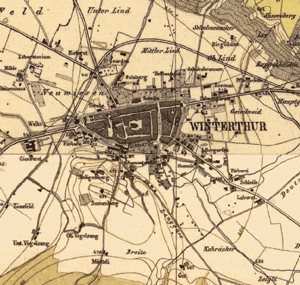
2. The map of Johannes Wild of 1850
Mandated by the government of the Canton Zurich, Johannes Wild produced between 1843 and 1851 a cantonal map of Zurich on a scale of 1:25'000.
The "Wild-Map" was not only the example for the following Siegfried map but was also taken as a model for the official map institute of Switzerland. (Swisstopo.ch)
Based on GIS data - Philippe Zehnder merged the data into one single map in the format of 140 x 140cm and in the orgiginal scale of 1:25'000.
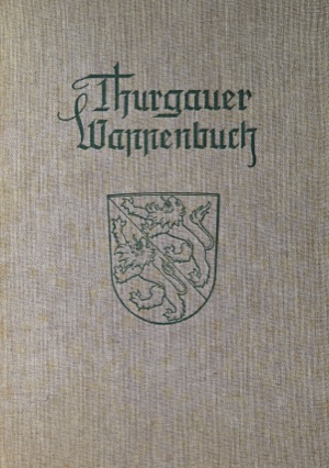
3. Book of family emblems of Thurgau
In 1940, Dr Julius Rickenmann established a book with the selection of the most important family emblems of the Canton of Thurgau. The book was printed in a limited edition of only 400 exemplars.
The book includes also the family emblem of the Zehnders of Aadorf, formerly from Ettenhausen.
Philippe Zehnder digitalised his own family exemplar and composed it in form of a pdf file.
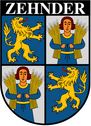
4. Emblem of the Zehnders of Aadorf
Based on the information of the above mentioned book about all family emblems of the Canton of Thurgau, Philippe Zehnder redesigned and digitalised the emplem of the Zehnders of Aadorf.
Two different versions in high resolution are ready to be downloaded.
Wappen ohne Namen in PNG (2.1 MB)
Wappen mit Namen in PNG (2.1 MB)